Eden at Lowrie Bay
An Island Mountain Ramblers' Outing
 |
| The second San Jo beach on Friday morning, with rain threatening. |
 |
Cape Scott is almost a six-hour drive from Nanaimo, with the last 60 k from Port Hardy on a rough logging road.

On Thursday night we hiked into San Josef Bay and around the point, and then on Friday we went up Mt. St. Patrick, down to Sea Otter Cove, and over to Cowrie Bay. We then returned on Saturday. |
Remote.
Hard to get to.
Physically demanding.
Beautiful.
Yes, the hike from San Josef Bay to Lowrie Bay in Cape Scott Provincial Park is all of these. And it's well worth the effort to get there. It's only 10 k from the trailhead at San Josef Bay to Lowrie Bay, and yet it took us 6 hours, and we didn't have any extended stops. (Although if the other four hadn't waited for Beth and me, the turtle and the tortoise, they would have been much faster.)
We left Nanaimo about 5 p.m. on Thursday, and didn't start hiking until almost 11 p.m. It was overcast, but had quit raining. We head-lamped the 2.5 k on the almost wheelchair accessible trail to the first San Josef Beach, and then made it around the point to the next beach. We managed to locate Reashy's tent (he met us there), erected our shelters, and had a few hours sleep before we arose and started hiking about 6:30 a.m.
It looked like impending rain, but none when we started out up the steep trail to the top of Mt. St. Patrick.
 |
| The trail had been officially closed for a number of years, and was actually better than I'd expected. |
It was a steal uphill, gaining 462 meters, to the summit, but the forest was beautiful!
 |
| "Wow! Look at that Sitka Spruce!" |
 |
| The summit of Mt. St. Patrick seems much higher, with a sub-alpine feel to it. |
 |
| Misty and cool up top! |
We stopped briefly on the fogged in summit, but it was too cold to stop for long. At first, the trail going down to Sea Otter Cove was good, a nice open forest.
 |
| "Ah, nice walking!" |
But then as we neared sea level it became very challenging, and tiring, with logs to go over, or under, bogs to avoid, and salal to swim through. And although it wasn't raining at the time, it had rained Thursday, so the trail, and all the salal, was soaked, as were we.
 |
| "Ah, love this wet bush!" |
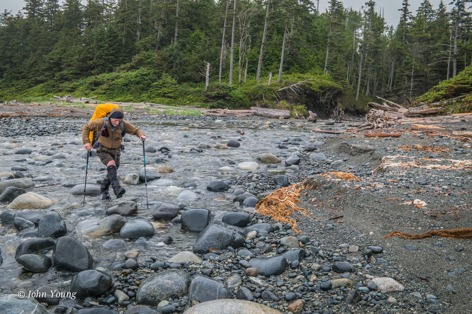
We had a couple of challenging creek crossings, exacerbated by the wet logs, and most of us filled our boots.
 |
| "Where do we go?" |
 |
| Nearing Sea Otter Cove. |
We crossed the mud flats of Sea Otter Cove at a tide of about .8 m., and then started across to Lowrie Bay.
 |
| ""Boy! Mt. St. Patrick looks so big in the fog!" |
 |
| Magical or what! |
The trail across to Lowrie Bay was surprisingly good - much better than the last section just before Sea Otter Cove. Flagged, and not "too" bushy. We reached the beach about 12:30, and I was surprised at how beautiful it was! I had been expecting something like Sea Otter Cove - camping in the trees about a mud flats.
 |
| "Ah, this fire is nice!" |
We set up camp, had lunch, and got a fire going. Luckily, Beth had brought a tiny hatchet along and Michael split off some cedar tinder to start the blaze. Once we had it going, we could add bigger pieces and they caught, even though they were soaked on the outside.
I was wet and cold when we arrived, and helping Michael get the fire going had warmed me up some. I only had one pair of pants, and they were soaked. But I put on my rain pants, and after standing around the fire for a couple of hours my pants were pretty much dry. Then we went for a walk down the beach.
 |
| "The clouds can't get much lower!" |
 |
| "We're so lucky! It could be pouring down rain. " |
 |
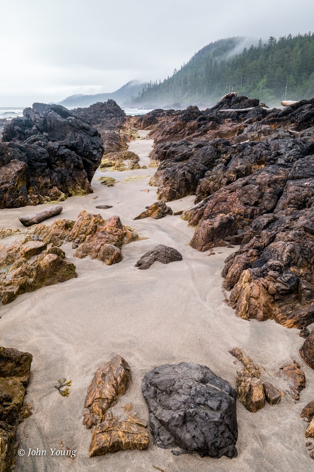
| Sand art. |
 |
| Rock sculptures. |
 |
| More art. |
 |
| Exploring. |
 |
| Heading back to camp. |
After dinner, I ambled out to the headlands in front of our camp. Beautiful!
 |
| The headlands. |
 |
| Beach art. |
 |
| Wave action. |
The next day, Saturday, we slept in until just about 8, because the tide was low about 11 a.m., so we wouldn't be able to get around Sea Otter Cove until about then anyway. It had rained steadily overnight, and was still drizzling when we arose. I only had a tarp for a shelter, and was grateful that I had stayed dry.
After breakfast, we donned our rain gear and started out. Oh, it was wet! And cold. Nothing quite like wet salal on a cool day.
 |
| The dripping rain forest. |
The creek the other side of Sea Otter Cove had risen, and we all filled our boots this time.
 |
| We just couldn't run fast enough to avoid filling our boots. |
We sure didn't stop much on the way back, as even after just a few minutes we would get cold. But once hiking, we'd warm up, and we still marvelled at the beautiful forest!
 |
| "Wow! Look at that log!" |
 |
| And the moss is gorgeous! |
Heading up Mt. St. Patrick there wasn't much water on the trail, but going down it was another story. There was a sign asking hikers to "stay to the middle of the trail in order to maintain soil integrity." I was wondering what "soil" they were talking about!
 |
| Can't avoid the water here, |
 |
| or here! |
We arrived back at San Josef Bay about 4 p.m., glad that the rain had stopped.
 |
| San Jo |
Since it was now high tide, we had to take the bushy overland route around the point, but the views from there made it worthwhile!
 |
| Sea stacks at San Jo - arguably the most beautiful beach on Vancouver Island. |
 |
| "I'm glad this rope is here!" |
 |
| "Ah, glad the rain has stopped!" |
Then, we headed back to the trailhead, donned our dry clothes (ah, nice!), and headed home.
Ah, Vancouver Island, what a paradise!
 |
| The "tree of lost soles" near Holberg. (Michael added a pair of old hiking boots to the collection. |